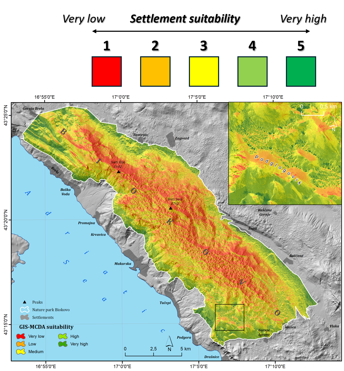
The study applied a multi-criteria GIS analysis (GIS-MCDA) to identify optimal locations for historical settlements on Mount Biokovo. The research was guided by eight geoarchaeological criteria: elevation, slope, aspect, topographic position index (TPI), terrain ruggedness index (TRI), wind shelter index (WSI), proximity to the coast, and density of speleological objects. These factors were selected based on their relevance to human settlement suitability, reflecting both environmental conditions and historical utilisation patterns.
Key findings reveal that over 75% of Biokovo's terrain is unsuitable for settlement due to steep relief and harsh climatic conditions, while approximately 6% was classified as highly suitable. The analysis demonstrated a high degree of accuracy, with historical settlements aligning closely with the identified optimal areas.
